MicroQuIB Facility

The "Microplastics Quantification, Identification, and Biodegradation Facility (MicroQuIB)" located at the UP MSI Bolinao Marine Laboratory (Pangasinan) is now fully functional and operational. It is the first plastics dedicated research facility in the UP MSI equipped with complete materials, equipment, and technologies for the processing of samples from the environment (sediment, water, air) and organisms (fish guts, bivalves). It covers all stages of processing from drying, density separation, extraction, mounting, and identification (microscopy and FTIR). It is also the site of development for more advanced methods like microplastics counting via Nile Red staining technique and automated image capture coupled with AI or deep learning for easier and faster quantification. The lab and facility is also involved in the application of drone imaging for macroplastics survey and quantification using deep learning.

It is designed to cater to both research and training, and is used as the venue for training programs in plastics research.

The establishment and furnishing of this facility will not be possible without the contributions of the following:

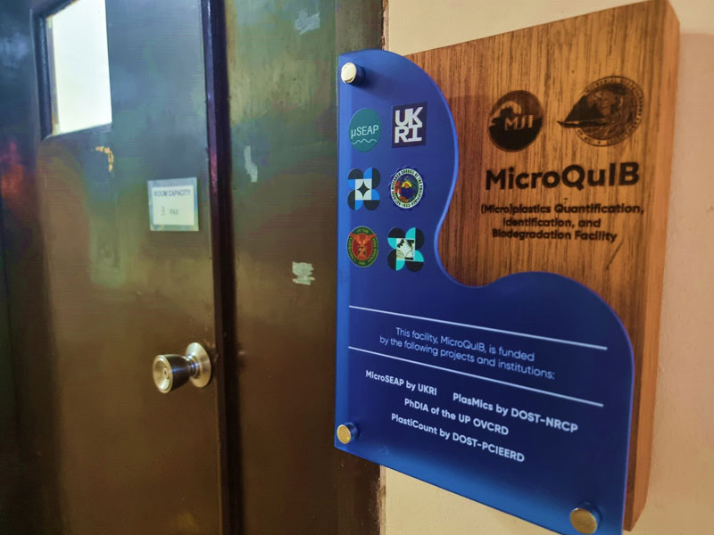
  • PlasMics Project funded by DOST NRCP
  • PhDIA Project funded by UPD OVCRD
  • PlastiCOUNT Project funded by DOST PCIEERD
  • MicroSEAP Project funded by UKRI NERC
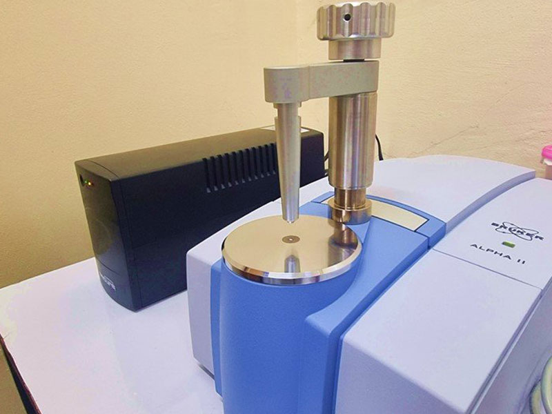
  • Microplastics counter donated by Dr. Andrew Mayes from the University of East Anglia
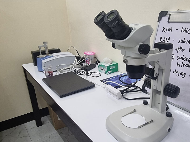
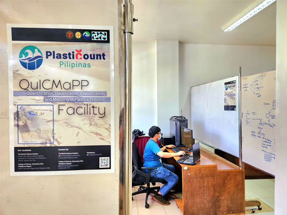
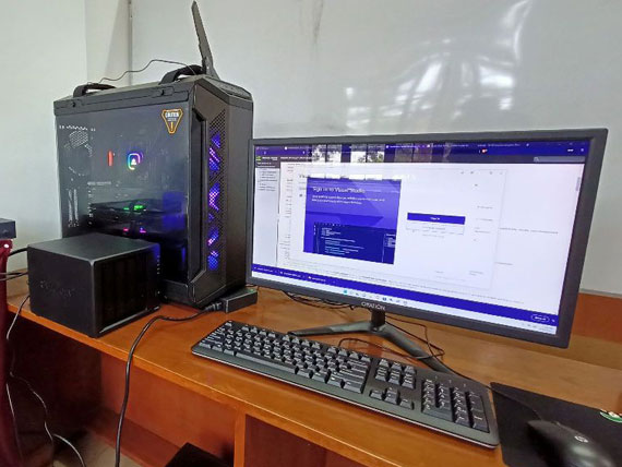
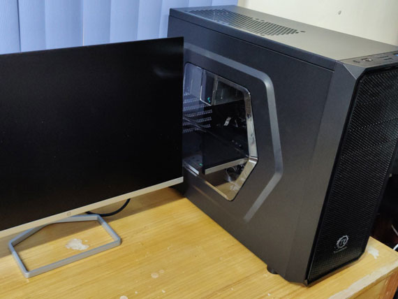
QuICMaPP Facility

A plastics quantification, identification and classification facility using deep learning is underway at the UP Baguio College of Science. Called the QuICMaPP or the “Quantification, Identification, Classification and Mapping of Plastics Pollution Facility”, the laboratory boasts of a workstation for processing large amounts of image data to produce up-to-date AI-generated mapping of plastics pollution in the Philippines.

Equipped with two RTX 3080ti’s the workstation is capable of quickly detecting and quantifying the plastics in an image through the use of an artificial intelligence model.

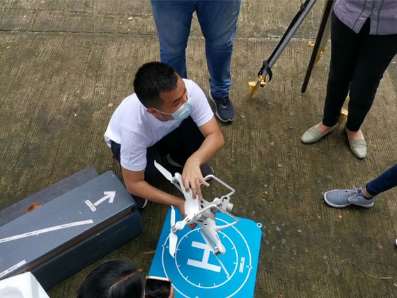
An RTK drone stationed at the Marine Science Institute can map out large areas such as coastlines and open water where it shall be processed in the workstation for plastic identification and classification with up to 5 cm accuracy.